Size (Acres): 0.48
Rural Land
Please enter your username or email address. You will receive a link to create a new password via email.
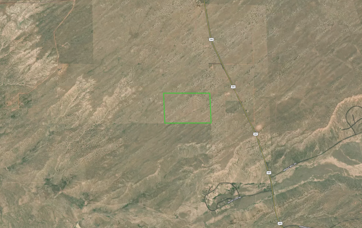
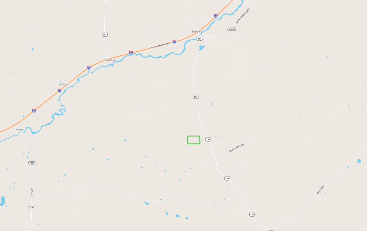
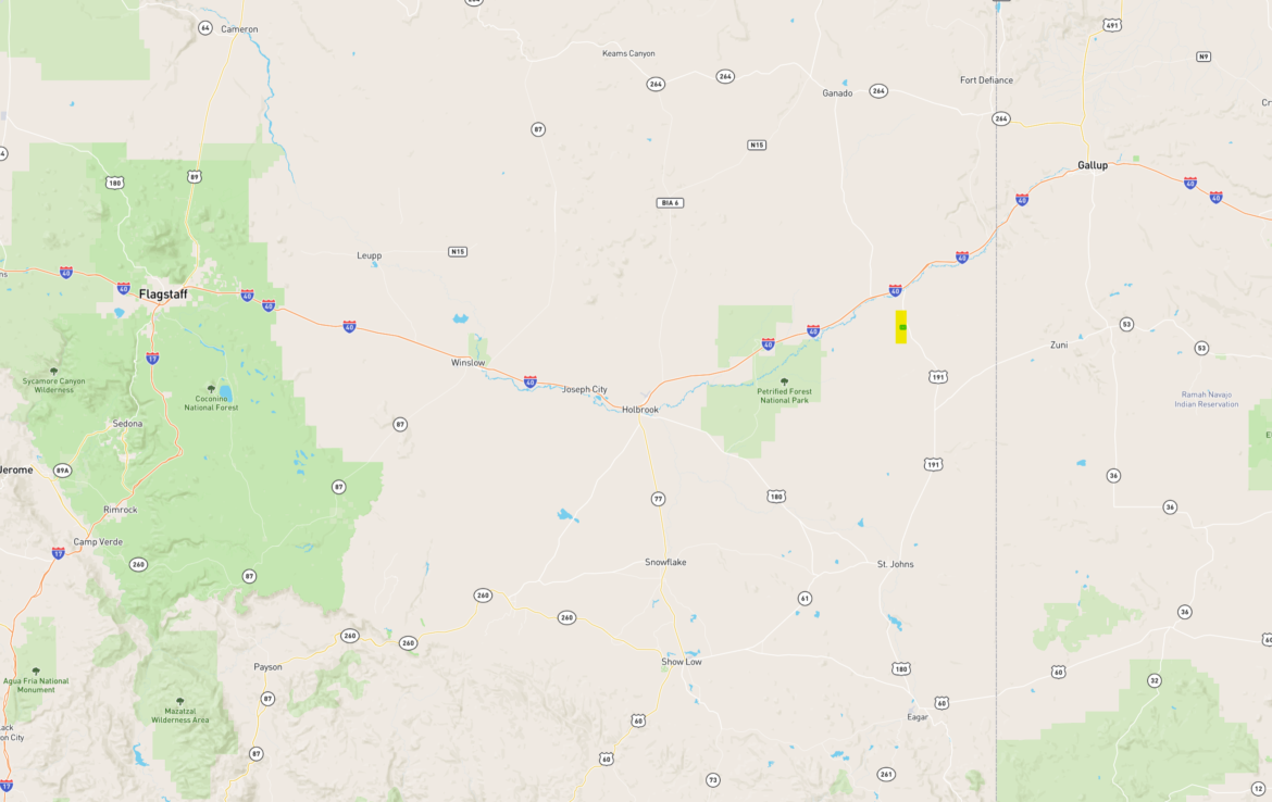
Located just off Highway 191 only 6 miles to Sanders, this expansive Northern Arizona property has limitless possibilities with panoramic views and great access. Click Here for Directions
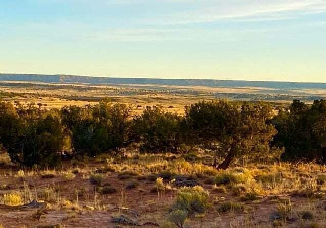
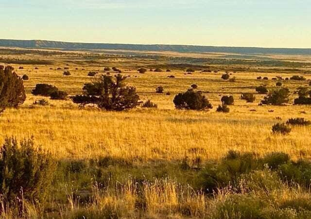
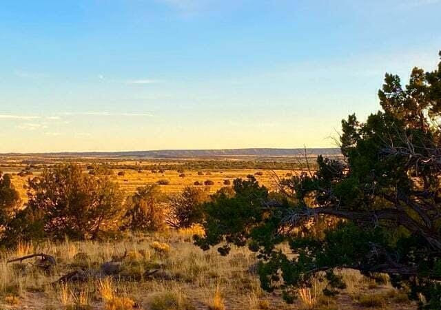
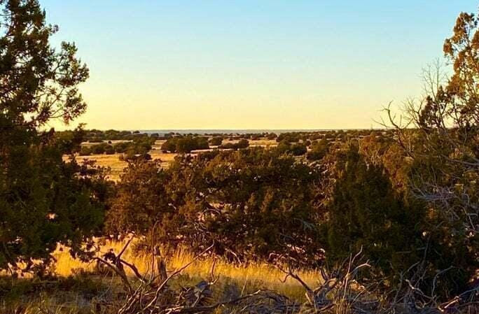
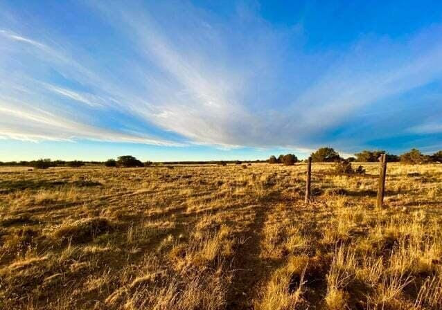
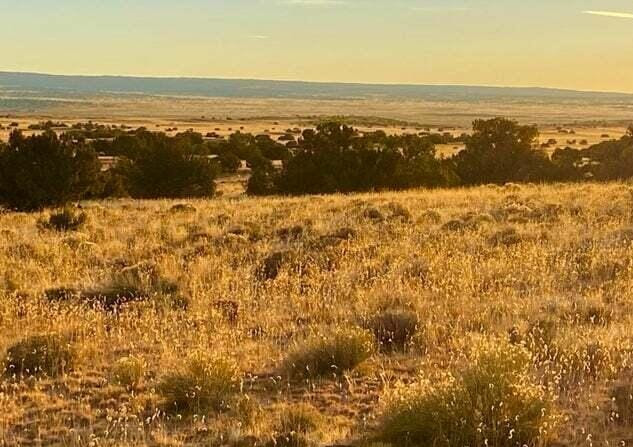
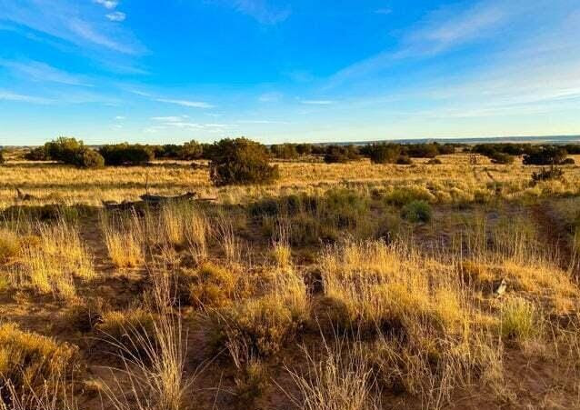
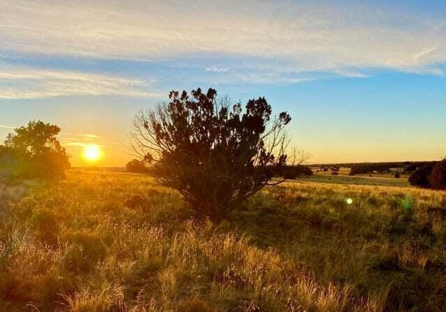
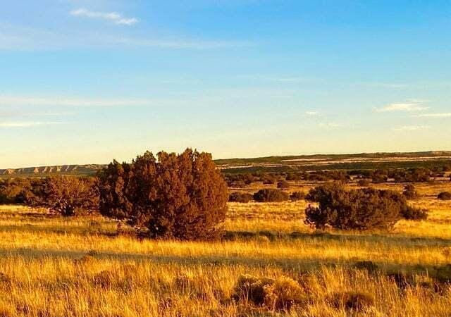
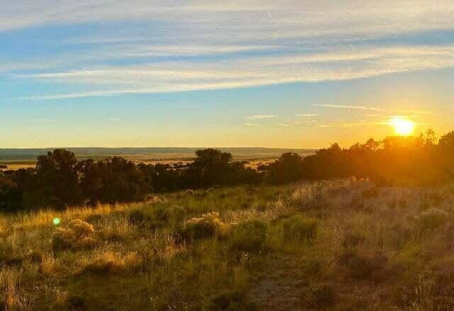
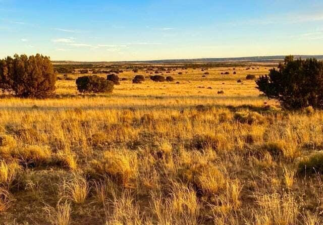
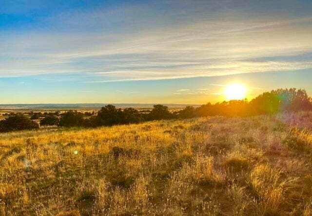
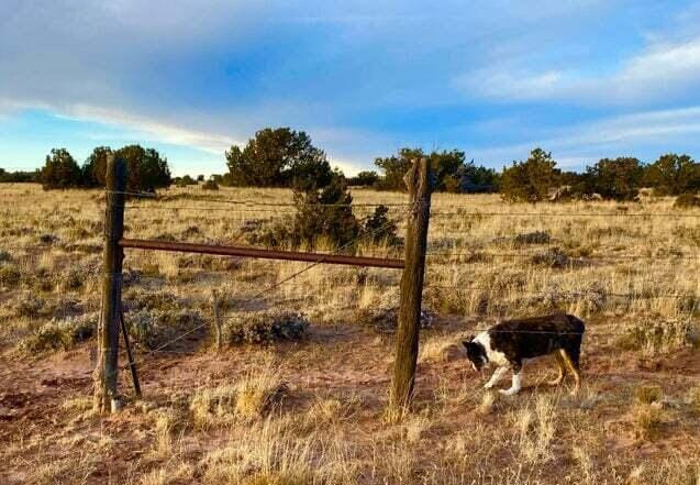
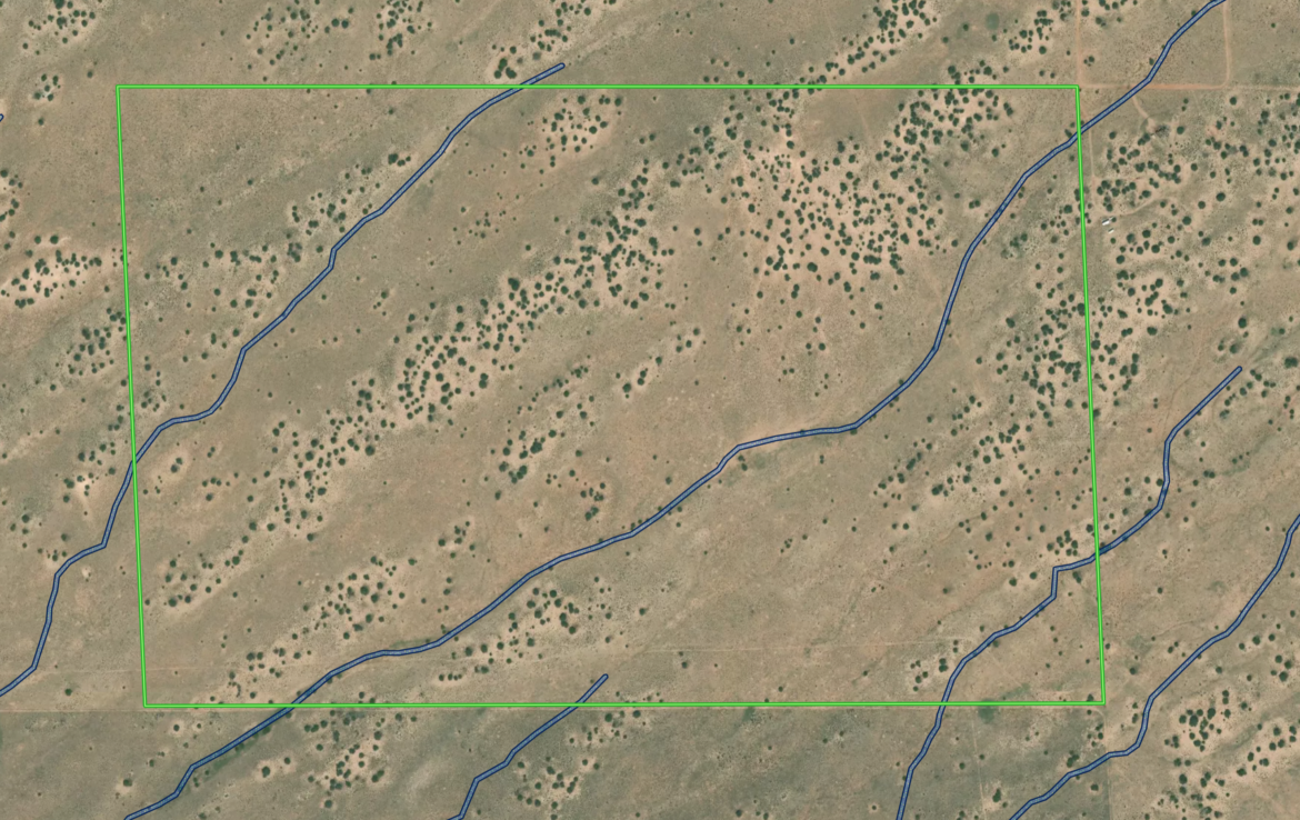
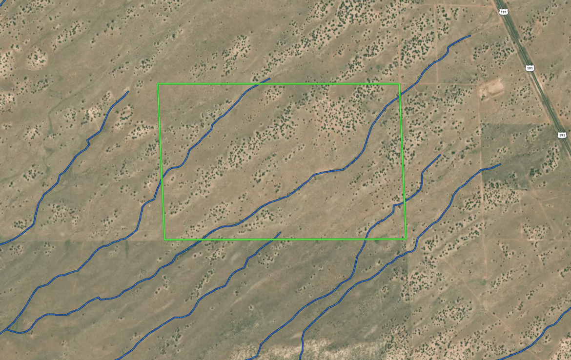
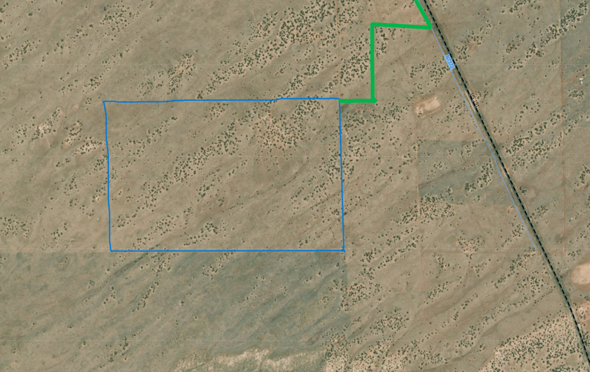
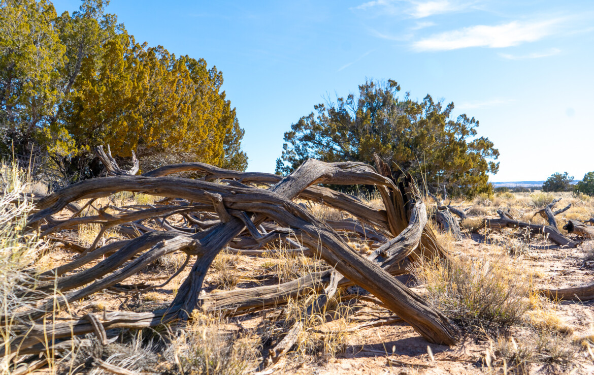
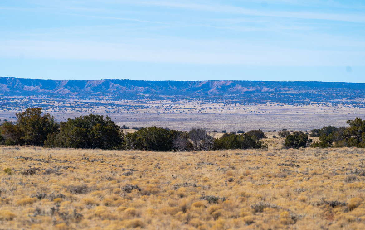
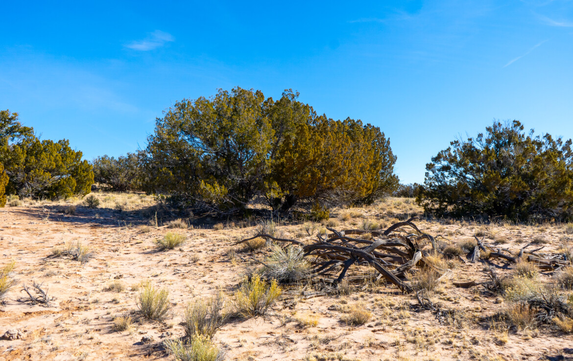
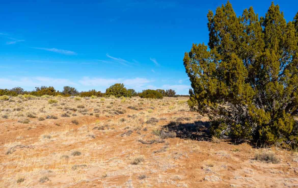
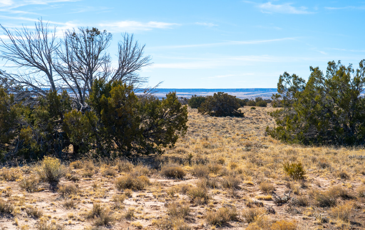
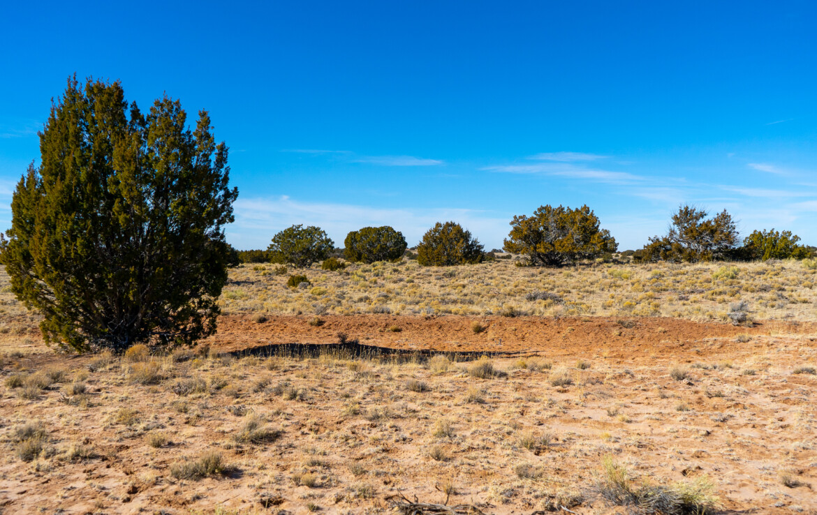
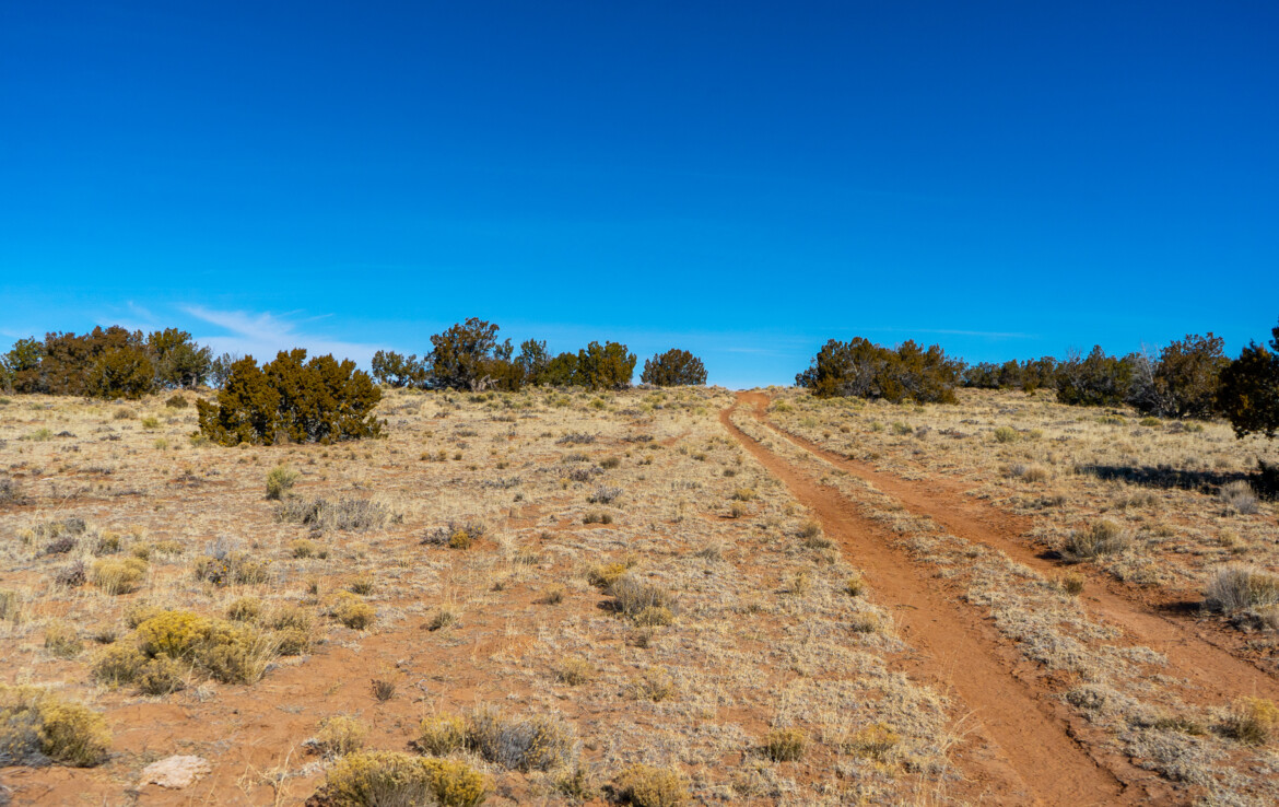
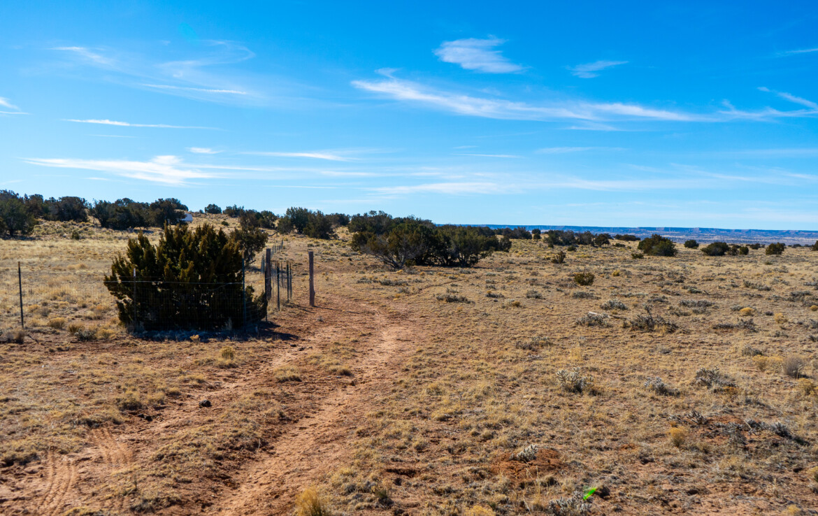
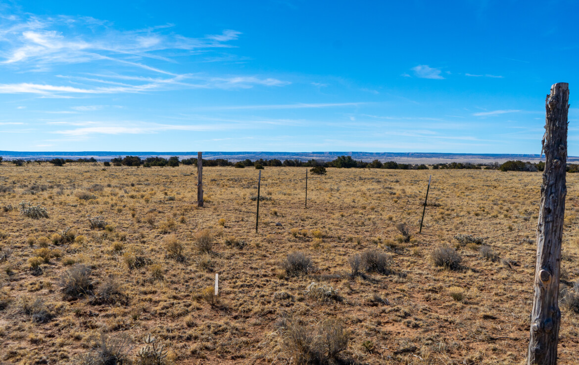
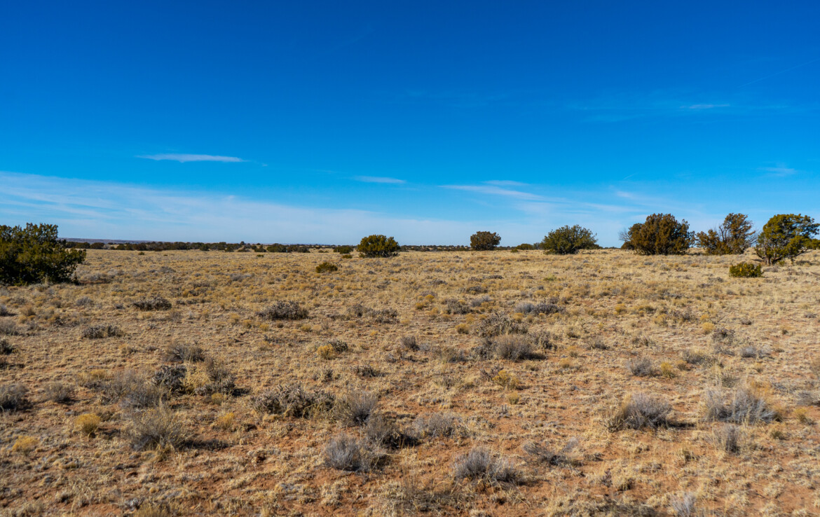
This rare property gives you gorgeous acreage with stunning mountain and canyon views along with level stretches of pasture and rolling hills of grass, sage and Juniper. Ideal for your dream ranch, whether it is horses, cows, goats, llamas or all of them. Plenty of room to build, have barns, corrals, garages, guest quarters, and so much more. The corners are marked and the property is partially-fenced to make viewing easy The terrain is beautifully varied with rolling hills and trees, giving you your pick of ideal building sites. There are small washes that span the northwestern border, across the property from northeast to southwest, and southeastern border that could make for great water source during monsoon season. As you’ll see in the photos and video, this land has a lot of character and plenty of privacy. The views are absolutely outstanding! With great access, you can easily get to Highway 191 (AZ 61) and I-40 (historic Route 66). Head out and spend your day fishing at Lyman Lake or exploring the natural wonder of the Petrified Forest. Witch Well Store is just south of you or head north to Sanders for a little small town charm and local eats. Surrounded by gorgeous views and vibrant Junipers, you have everything you need to live your off-grid dream!
This property has NO owners association nor covenants.
Visiting the Property: We are not real estate agents and we actually own the properties we have for sale. We run a self-service setup which means you are welcome to go view the property on your schedule and at your leisure. We only ask that you do so during daylight hours. We’ve provided everything you need in the listing, including GPS coordinates of the four corners of the property and a Google Maps link so you can plug in directions to take you right to the property. Land id™ (formerly MapRight) is a great tool we provide to help you locate and walk the property. Click here to learn how to use Land id™ App. It’s free to download and you don’t need to register. When you’re ready to visit the property, contact us and we will share the property map with you directly.
Access to the property is right off Highway 191. Coming from Sanders, head south for 6 miles until you reach a turnoff to a frontage road where you’ll turn Right and keep going south. Take that about .2 miles and take a Right at the first road on an unnamed easement road. From there you’ll drive another .2 miles and take a Left turn at the second dirt road. Go south for about .25 miles until you reach a T and take a Right turn. This will take you directly to the northeastern border of the property. See the map photos for details on directions.
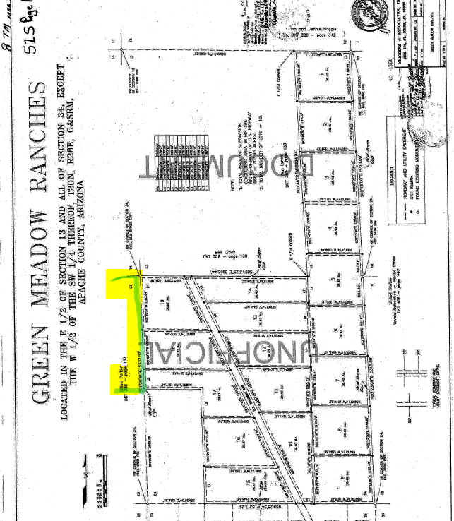
I have included ACTUAL property photos (first set) as well as photos of the property directly to the north (second set) that we owned. I have not visited this property yet but I have put everything I know about it in the details below.
WHAT’S CLOSE?
How to Reserve a Property: After you have completed your due diligence and you are ready to purchase the property, simply click the Buy Now button for the Discounted Cash Price or the Monthly Installment Pricing Option, complete the quick checkout and we will receive notification your payment has been made. We accept all major credit/debit cards.
To reserve this property at the discounted cash price, click the Buy Now button below and pay the nonrefundable $499 deposit which reserves this property today.
The above will all be written into a Land Agreement which we would both review and sign electronically. Then we will need 2 business days (excluding Sat & Sun) for our team to prepare the documentation for closing.
If you need clarification on any part of the land purchase process, we will be happy to teach you and walk you through the steps.
Size (Acres): 255.68 +/-
General Location: US Highway 191/Unnamed Road, Sanders, AZ 86512
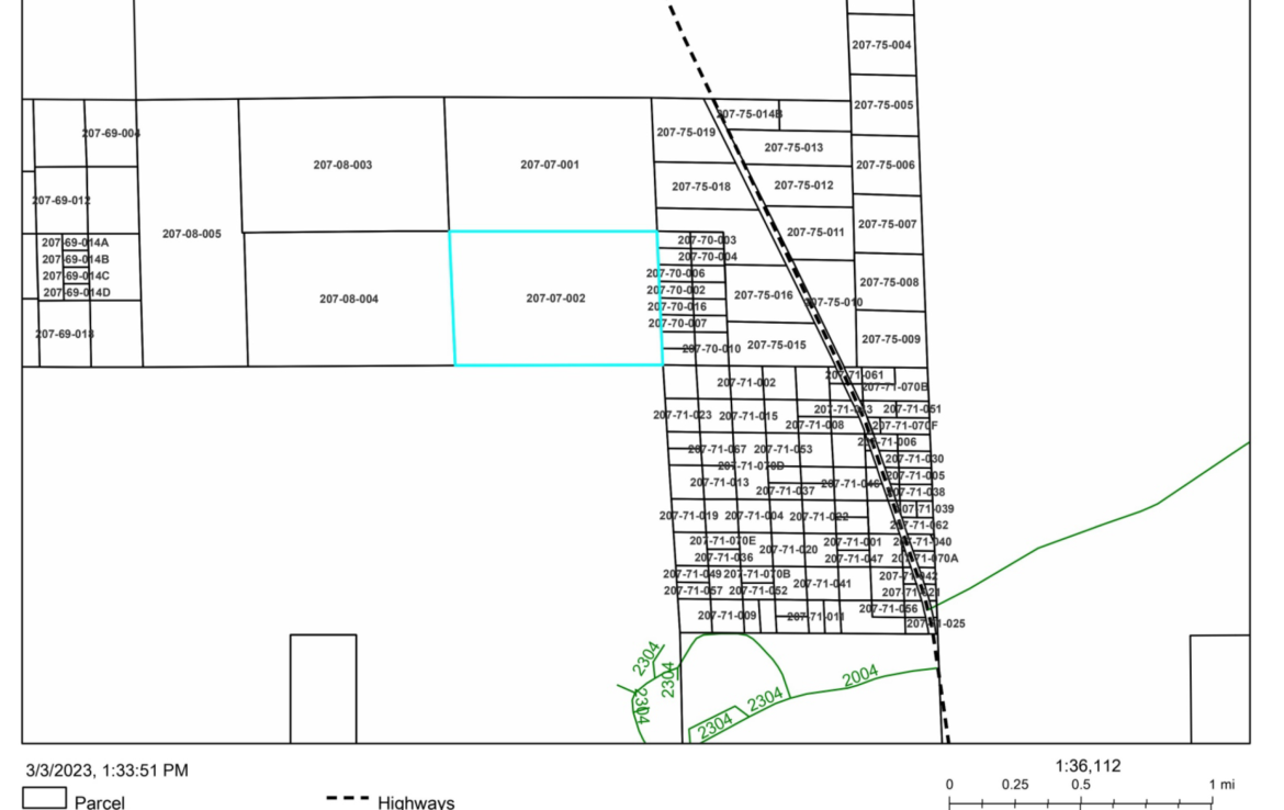
APN or Other ID: 207-07-002
Subdivision: N/A
Legal Description: A Parcel of land situated within a Portion of Section 23, Township 20 North, Range 28 East, Apache County, Arizona (Full legal description provided upon request)
Approx. GPS: Click Here for Directions
35.118109, -109.344886
35.118111, -109.330848
35.110787, -109.330451
35.110772, -109.344369
Property Type: Rural Land
Zoning: General Agricultural, County website: www.co.apache.az.us
POA: No
Terrain: Varied
General Elevation: Approx. 6,100
Power: Would be by generator, solar or wind.
Phone: Mobile/Satellite/Alternative
Water: Would need to drill well or use alternative system
Sewer: Would need septic or alternative system
Roads: Dirt, 4WD Recommended
Title Info: Free & Clear Title, Conveyed from LG Solutions LLC
Annual Property Taxes: Approx. $316
Doc Fee: Terms – $499, Cash – Responsibility of Buyer (To be closed through Pioneer Title)
Size (Acres): 5
Rural Land
Size (Acres): 5
Rural Land
Size (Acres): 37.28
Rural Land
Size (Acres): 37.28
Rural Land



255 ACRES IN NORTHERN ARIZONA, JUST OFF HWY 191 - US Highway 191/Unnamed Road, Sanders, AZ 86512
$175,000
Notifications

